
Start with the target and available records
Material, dimensions, burial conditions and the surrounding infrastructure affect whether a target can be distinguished geophysically. Existing plans, known connection points and previous survey information help define the investigation.
A method matched to the site
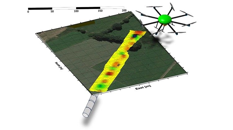
A buried utility must produce a response that can be distinguished from its surroundings. The appropriate survey approach therefore depends on the target and the local magnetic and electromagnetic environment. We discuss these factors before recommending an investigation. A single method cannot be assumed to detect every pipe or cable.
Results to compare with your project information
The survey scope should define the location information and interpretation required, the mapping reference and any ground verification needed. Geophysical results can then be compared with existing records and other site evidence. Locating a response is different from assessing a pipeline’s condition. The survey should not be treated as evidence of leak tightness or as authorisation to excavate.
Tell us about the route
Include the project location, approximate corridor length, known utility material and available plans. If some information is missing, describe what you need the investigation to establish.