
Add spatial context to existing information
Boreholes and geological records provide valuable local information. Geophysical measurements can help investigate the variations between them and guide questions for further site investigation. Electrical conductivity is influenced by several factors, including geology, clay content and pore-water properties. Interpretation therefore needs to consider the hydrogeological setting and available ground information.
How semi-airborne electromagnetics works
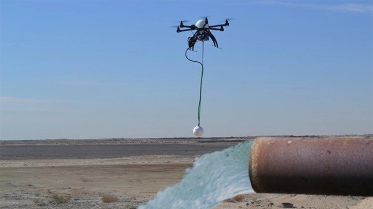
A controlled electrical source is installed on the ground, while a drone carries the receiving sensors along planned flight lines. The recorded response is processed and modelled to investigate the distribution of electrical properties beneath the survey area.
Results for hydrogeological interpretation
The project scope can include conductivity or resistivity sections and models, together with interpretation in the context of the available geological information. The required outputs and model extent are agreed for the individual investigation. These results support investigation planning. They do not independently establish well yield or drinking-water quality.
What determines survey suitability?
Target depth, geology, source layout, access and electromagnetic interference all affect the investigation. Ground access is required for the source installation, even though the receiving sensors are carried by a drone.
Start with your hydrogeological question
Tell us where the project is located, what is known about the subsurface and what the investigation should clarify. Existing borehole records and geological information are useful where available.