
The exploration question comes first
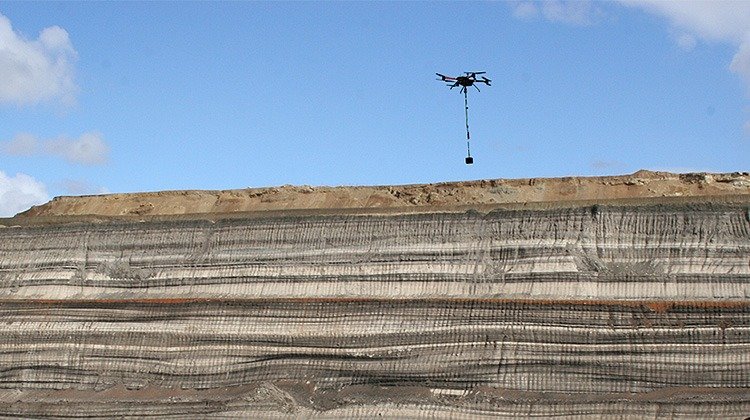
A survey may be intended to improve regional geological understanding, investigate a particular prospect or add detail around an existing target. The geological setting and available information help determine which method is useful and how the area should be surveyed.
Complementary measurements
Magnetic surveys
Magnetic measurements reveal variations associated with the magnetic properties of rocks and other sources. Interpreted in context, these variations can help investigate geological boundaries and structures.
Electromagnetic surveys
Electromagnetic measurements investigate the electrical response of the subsurface. Conductivity contrasts can provide additional information where the exploration target and surrounding geology produce a distinguishable response.
Define the results around your next decision
Depending on the agreed scope, the investigation can be presented through magnetic maps, electrical-property models and geological interpretation. Before the survey, we discuss which outputs are needed for your team’s next stage of work. A geophysical anomaly is a target for interpretation and follow-up. It is not, by itself, proof of an economic mineral deposit.
Information that helps us assess your project
- Project location and approximate extent.
- Geological setting and exploration objective.
- Existing geological maps, geophysical data or drilling information.
- Required level of detail and intended follow-up work.
- Terrain, access constraints and preferred timing.
Discuss your survey area
Tell us what you already know and what the next investigation needs to establish. We can then discuss a suitable geophysical approach.