
A clearer view.
Below the
surface.
Magnetic and electromagnetic surveys that connect subsurface measurements with the decisions you need to make.
Different physical properties.
Your question.
The right investigation.
Start with what you need to establish.
We’ll help you explore a suitable geophysical approach.
Mineral exploration
Map magnetic and electrical contrasts to refine geological understanding and guide further exploration.
Explore this serviceGroundwater exploration
Investigate subsurface electrical properties to support hydrogeological interpretation and investigation planning.
Explore this serviceUXO & buried objects
Locate magnetic anomalies that may indicate buried ferrous objects and require further specialist assessment.
Explore this servicePipelines & utilities
Investigate buried infrastructure where its physical properties and site conditions allow geophysical detection.
Explore this serviceDesigned to measure.
Built to understand.
Survey expertise and measurement technology in one team. Each configuration starts with the investigation it needs to support.
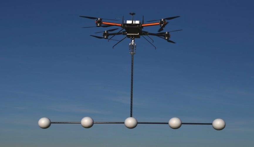
A different perspective.
A connected measurement.
Magnetic surveys for geological contrasts
and buried ferrous objects.
Semi-airborne EM
A controlled source on the ground. Receiving sensors in the air. Electrical insight below the surface.
Explore the methodFROM SIGNAL TO CONTEXTThe value is in
the interpretation.
Turn geophysical measurements into a better-informed next step.
Processing & interpretationBuilding your own survey capability?
Discuss a measurement systemFrom a project question
to an interpreted result.
Define the objective
Your project question, site information and the decisions the survey needs to support.
Design the survey
The method, sensor configuration and measurement layout, matched to site conditions.
Acquire the data
Planned geophysical measurements, with field conditions and survey coverage considered.
Process & interpret
Measurements translated into maps, models and context for your next decision.
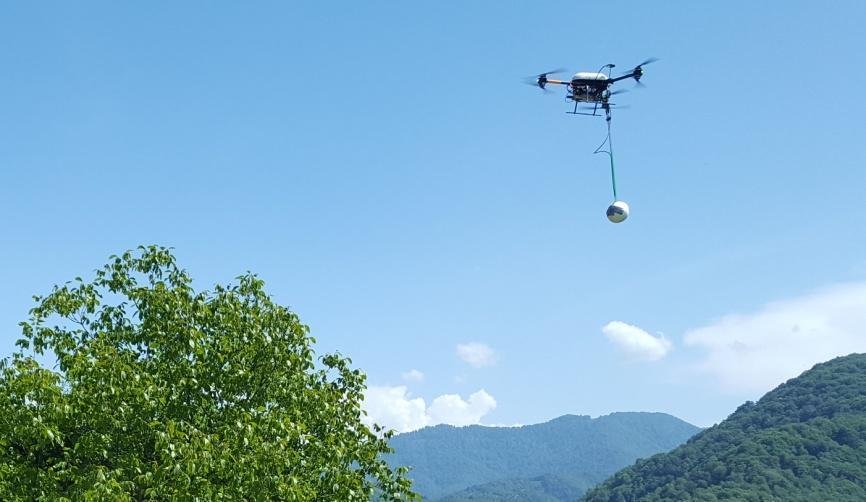 MGT / AIRBORNE MAGNETIC SURVEY SYSTEM
Field experience.
Engineering insight.
Based in Celle, Germany, MGT connects airborne sensor development, survey acquisition and geophysical interpretation.
Considering the complete measurement process helps us connect practical field requirements with the questions behind your project.
Get to know MGTExplore the science
behind the survey.
Selected publications document the development of MGT’s methods and systems.
View all resourcesThe interferographic TEM (ITEM) method: Array beamforming
Joint publication by Dr. Bryan A. James (Electromagnetic Geophysical Imaging Solutions) and Johannes Stoll on semi-airborne TEM field compaction.
Read publicationSemi-airborne electromagnetics using a multicopter
The development of a ground-source and airborne-receiver configuration, including a field test in northern Germany.
Read publicationHistorical research and development. These publications are not current product specifications.
A few good
questions.
Every site is different.
Here is where the conversation starts.
Do I need to know which method to use?
No. Start with your project objective and location. The target, ground conditions and information already available help determine which approach may be suitable.
What will the survey deliver?
The scope is agreed around your requirements. It may include processed data, maps, models and geophysical interpretation. We discuss the required outputs and their intended use before the survey.
How deep can a survey investigate?
Investigation depth depends on the method, target, geology, survey geometry and signal quality. It is assessed for the individual project rather than promised as a universal figure.
Can I enquire about a measurement system?
Yes. MGT develops and supplies airborne geophysical measurement systems. Tell us about your application and intended platform so we can discuss the configuration and current availability.
Every investigation
starts with a question.
Tell us what you need to investigate.
You don’t need to choose the technology first.